This is the third of three reports on our 200 mile Coast to Coast walk across England, covering the 59 mile segment from Danby Wiske to Robin Hood’s Bay.
(The
Coast to Coast Path traverses northern England for over 190 miles starting in
St. Bees at the Irish Sea and finishing at Robin Hood’s Bay at the North Sea.
Our plan is to walk this distance over 18 days with a handful of rest days here
and there. With side trips to pubs for sustenance and some backtracking due to
the high likelihood of getting lost, we anticipate we will have walked over 200
miles).


Danby Wiske to Ingleby
Cross
The
path over the past few days traversed the flat lands between the Yorkshire
Dales through which we have already hiked and the North York Moors through
which we will be hiking in the days to come.
This
area “in between” is instead the agricultural heart of northern England. As
such, our nine mile day today was a relatively easy one, flat, and not
particularly interesting or inspiring from a visual perspective.

The
route passed through field after field of hay, root vegetables, and grazing
animals. The area is also cross-crossed with rail lines and super highways
connecting Edinburgh in the north with York, Leeds, and London to the south.
Scooting across some of these roads and rail lines required special care and
for us to be fleet of feet.


As has
been the case throughout our England journey so far, it is through this area
that it is most evident how private property and land use laws differ between
here and the U.S.
Public
footpaths, including the one for the Coast to Coast, are everywhere. I leaned that such paths across private property are rooted in medieval law, the Magna Carta, and more recent decrees. If you are
on foot and need to get between points A and B, and the shortest distance to do
so requires you to cross a pasture (the practice of which has been in use for centuries), well then off you go without apparent
repercussions. In fact, there have been many cases where the signposted “public
footpath” directed us right through the front yards of homes, through corrals
on horse farms, or among the equipment and stored supplies of
farmsteads.


 |
| Lunch and a cigar break against the side of a barn. |
We’d often
see the owner who would offer a friendly wave instead of an angry shaking of
the fist. In fact, on a more than a couple of occasions, benches, tables, and
“honesty boxes” full of cold drinks and yummy homemade snacks were on offer by
the very people across whose land we were traversing.


When we
came near for a closer look, we must have tripped a motion sensor for it
triggered a recording of the Wicked Witch of the West from the Wizard of
Oz.
“Hello
my little pretty. Going so soon? I won’t hear of it. Why my little party's
just beginning.”
After
hearing that, we left fearful expecting to see flying monkeys coming at us during the rest of
our day’s walk.
Ingleby
Cross to Great Broughton
We
stopped in the town’s church soon after finishing breakfast. Unfortunately, we
couldn't attend Sunday services since mass was not going to be held for several
more hours. A prayer or two had to instead suffice.

Soon
the trail ascended with a stiff, steep climb right after leaving the church.
Scores of pheasants browsed for insects and seed on the gravel path. They
nervously continued up the path, always ten yards or so ahead of us. It was as
if they were thinking we would catch them if we got any closer.


We
were leaving the agricultural areas that dominated our past several days and
were now up into the moors of the North York Moors national Park. The views
were distant and vast. Cyclists sped by. Ancient burial mounds dotted the heights.


To the
west, the skies were growing dark and cloud-filled. A storm was approaching. We
were mindful to keep moving along since forecasts showed that the rain would be
upon us by 3:00 p.m.
During
a short mid-day break at Lordstones, an oasis in the middle of the moors where
snacks, sandwiches and cold drinks were served, I was jones-ing for a diet soda
and drank all of it in short order. MK dispatched her sparkling water in
similar fashion.
From
there, the maps showed a side path that would avoid some of the day’s remaining
steep climbs. But, as I shared with MK, the guidebook suggested if you had “any
ounce of integrity left, you’d stick with the hill route and avoid the easier
side path.”
She
quickly shot back, “I left my integrity back on the hills several days ago.
We’re doing the side path.” And so we did.

While
it was indeed easier, it also gave us better access to another trail we needed
to take to descend from the moors and into the town of Great Broughton where we
would be staying for the next two nights.
Finding
this trail proved difficult. We relied on our past orienteering skills and a
sense of dead reckoning to find it and the way out, into the plains below, and
then our village soon after.
We
spent a very pleasant evening having dinner with MK’s cousin Mahima and her
husband Adam. They drove up from nearby Leeds with their two children, Rosie
and Monty. MK last saw her nearly 25 years ago so had a lot of catching up to
do.

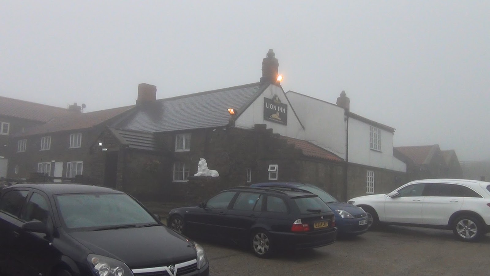
Great
Broughton to Blakey Ridge
It eventually
had to happen. The long streak was just too good to last. The weather, sunny
and beautiful for days on end, finally turned. Instead of bright and cloudless
skies, we were greeted with deep fog and rain when we left the hotel in the
morning.
There
were several others waiting with us for the shuttle car that would deliver us
to the trail crossing several miles away. It would take us to the spot where we
left off a couple of days ago before taking our rest and recuperation day
yesterday.
One of
the men with us, an Australian fellow we met several days back when attending
that play in Richmond, was a dead ringer for the actor Michael Caine. We told
him as much when he was bold enough to mention that he thought MK was a Sally
Field look-a-like.
Being the
tallest in our bunch, I was told I should sit in the front seat while the rest
squeezed in the back with all of our gear. When I attempted to do so, the
driver said, “Here ya go,” and handed me the keys.
After
my look of initial puzzlement, I realized my error and his joke. I had gone to
the driver’s side of the car which, of course, is on the opposite side from
what we are used to back home.
“Stupid
American!” I said as everyone laughed. I embarrassingly walked over to the
other side while handing the keys back to the driver.
The
weather had indeed turned for the rain and wet immediately began their assault
on our senses soon after we left the roadside and began our day’s walk. We
experienced fog, mist, drizzle, a bit of hail, and then a good solid rain. This
cycle continued throughout our nine mile walk to Blakey Ridge.


In
short order, our boots had soaked
through. Any clothing we had that was not fully covered by our rain ponchos got
equally drenched. We simply kept moving, one foot in front of the other, to
keep from getting chilled due to the rain in our faces and the relentless
headwinds.


 |
| Ghost sheep. |
 |
| I...I see dead people. |
Through
the thick clouds and fog of the mid-day, we could barely discern the outline of
a lone building far off in the distance and over the moorland. It was our inn
where we would be staying for the evening, our much anticipated port in the
storm.
We
still had a half-mile to go to get there. The rain then came down harder than
any time earlier throughout the day.

We
walked in the door sodden and dripping water all over the stone floor leading
up to the bar. All of the locals sitting there turned to look at who or, in our
case, what had just walked in. One of the locals, a man with half of his pint
left in his glass, looked us over and said, “Ya know, its worse here in the
winter time.”
We
quickly checked in, changed into some dry clothes, and jumped into our bed
covered by a thick and soft duvet. It’s warmth led us to a deep sleep for the
next couple of hours.
We
gravitated back to the bar area in the early evening. In the growing dark,
visibility outside the windows was at its worst. The rain and the wind pounded
our little building. It was exposed to all that nature could throw at her given
it’s lonely location out here in the middle of nowhere high up in the Yorkshire
moorlands.

We sat
with several other walkers by the over-sized stone fireplace. While being warmed
by the roaring fire, our hands cupping a coffee and a pint or two, I was
reminded of the scenes from some old movies.
In
those movies, the locals sit while huddled together for protection from the
evil that is waiting for them outside the rain-lashed walls and doors. The
whites of their fearful eyes shine from the glow of the fire while listening to
the howling of werewolves out on the moors. The beasts lie in wait - waiting,
just waiting - for one of the pub’s patrons to foolishly attempt a walk home in
the wet and the dark.
All of
these stories are just myth, of course, and such foolishness of leaving the building was not on our
minds for this one evening here in remote northern England.
For
why even take the chance?


Our bags need to be downstairs in a collection area by 8:30 a.m. We’ve hired a service that forwards our heavier luggage onward to our next night’s accommodations. It’s a great way to do a long distance walk where we only have to carry basic essentials on our back (food, rain gear, etc) while the rest is being transported.
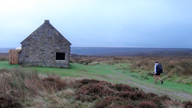


Blakey
Ridge to Glaisdale
Low
cloud cover, fog, and a bit of mist made our morning another one with little in
the way of views as we left our lonely outpost high up on the moors. What we
could see was one of monochromatic grays and whites.


Compared
to the past weeks of glorious weather and beautiful views, these past two days
were like watching a black and white TV after years of watching one in full
color.
 |
| Visiting "Fat Betty", a stone marker along our route. |

 |
| Tradition required us to leave a food offering. |
Such
conditions combined with our so-called normal nine-mile day also don’t allow
much to report on. When the highlight of the morning is a visit to "Fat Betty", where tradition requires one to leave a food offering, maybe it’s time instead to give you dear readers an idea
of what our routine is like for that portion of our day when we are not
actually walking. So, here it goes:
We
wake up to a variety of breakfast options served as a part of our room rate. To
stay fortified for the morning ahead, we usually order the “Full English”
breakfast consisting of eggs, bacon, sausage, baked beans, stewed tomatoes,
hash browns, black pudding, and toast. Although, after many mornings of this
fare, one gets pretty tired of it and seeks out simple yogurt and cereal.
 |
| A Full English breakfast. |
Our bags need to be downstairs in a collection area by 8:30 a.m. We’ve hired a service that forwards our heavier luggage onward to our next night’s accommodations. It’s a great way to do a long distance walk where we only have to carry basic essentials on our back (food, rain gear, etc) while the rest is being transported.
By
9:00 a.m., we start our day’s walk. It takes us 5-1/2 to 6-1-2 hours to walk
our 10-13 miles scheduled for the day. This two or so mile an hour pace
includes time spent for stops, lunch, and picture taking.
The
daily walks themselves have already been detailed here in these posts, so you
get the idea what they’re like.
When
we arrive into our day’s final town, we seek out our accommodation where, upon
check-in, our luggage is waiting, seemingly happy to see us again.
We
walk around town to see what’s on offer. We find a shop or grocery store where
we buy some items for dinner as well as food for the next day’s trail lunch
needs. Sometimes, we buy two day’s-worth of lunches if our research shows there
will be no stores available in the days ahead (this was particularly the case
in the more remote portions of our journey). It takes some work and a lot of
planning, but eating this way, as opposed to a restaurant or pub meal every afternoon
and evening, saves us a ton of money.
After
dinner, we hit the shower, maybe rinse out a couple of clothing items, read or
watch a little bit of the BBC on the telly, then lights out for a solid sleep
and rest. We’ll need it for the next day when we repeat this pattern all over
again.
The
skies cleared somewhat in the early afternoon as we approached Glaisdale.
This small village had a couple of inns B&Bs, ours included, for weary
walkers to rest their heads.


 |
| The village of Glaisdale. |
 |
| Our inn for the evening. |
As luck would have it, the village shop closed at
noon on Wednesdays. So, our normal pattern of buying supplies and food for
dinner and the next day’s lunch were interrupted by this closure. We will have to
order from our inn’s bar menu for tonight’s dinner and figure out some other
plan for tomorrow’s lunch. The maps indicate there may be some shops along the way where we should be able to sort this out.


Glaisdale
to Littlebeck
An
early, hard rain gave way to cloudless, sunny skies soon after we got underway.
The air was fresh, clean, and bracing. Remaining raindrops, on leaves that were
starting to turn into their yellow and orange autumn color, sparkled and
glinted in the sunshine as our path traversed a pine-scented forest.

Out on
the road, we walked across ancient bridges that spanned a quiet stream. Nearby,
fly fishermen prepared their rods and tackle. Their plan was to catch the
salmon that were just starting their upstream migration from what was now the
nearby ocean.

 |
| Fly fishermen at a stream we walked along. |


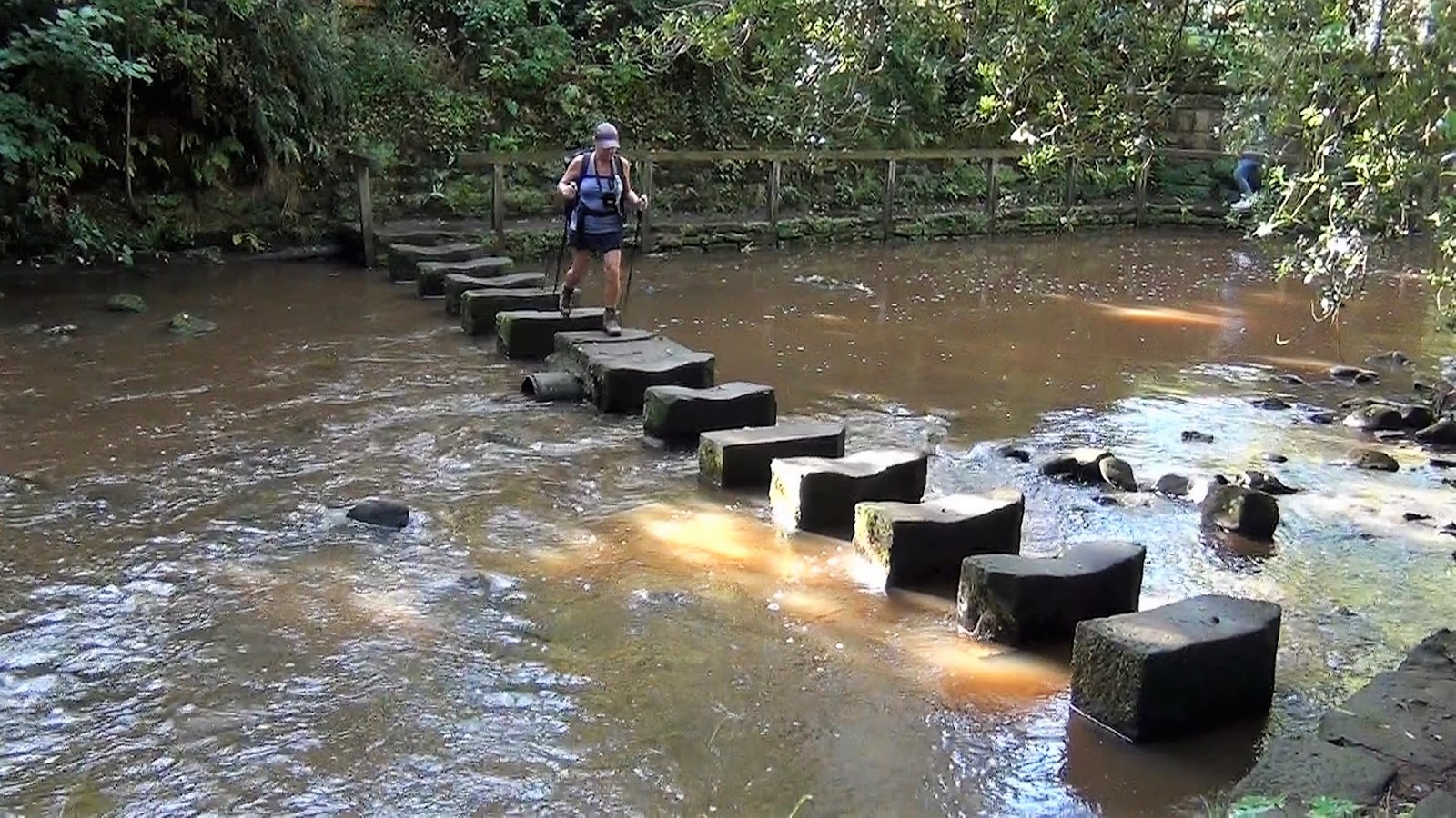
Our
path eventually detoured off of the road and across this same stream via a
series of stepping stones. Doing so offered a unique way to enter the small
hamlet of Egton Bridge.

In the
center of town, a large, solemn church stood over all that surrounded it.
Carved into its exterior walls were the stations of the cross. Beautiful
paintings and sculptures of the stations were inside as well. Some time was
spent inside to not only admire these works of art, but to take stock and
reflect on all that we had accomplished these past two plus weeks. While there,
MK took a moment to say a prayer or two that we remain healthy during our
remaining 15 miles that we still had ahead of us.


We
took a long break when reached the town of Grosmont around noon. The town was a beehive of
activity for it was the stop of the North York Moors Railroad. Steam engines,
antique passenger cars, coal chutes, switching and repair stations -
essentially all things a train aficionado would love - were all here to admire.


The
path climbed steeply out of Grosmont and up onto the moors. Distances were once
again vast and limitless. At certain points, the North Sea, where we will dip
our toes tomorrow at the conclusion of our walk, could be seen in the distance.

We
walked across the moors in silence. We’ve long since run out of things to talk
about since we’ve talked just about everything over these past umpteen days.
The
quiet was only interrupted by the wind and the occasional sound of a steam
whistle from the train yards back down in the valley. To break up the monotony,
I reminded MK of the comment made by the Australian the other day, the one
where he mentioned to her that she looked like Sally Fields.
“How
about a couple of quotes from Miss Sally,” I asked.
“Huh?”
“You
know,” I said eagerly “like, how about ‘Run Forrest, run!’”
“Umm,
no.”
I
continued, “How ‘bout this one: ‘You like me! You really like me!’”
“Mark...”
“Yeah?”
“Stop
it.”
“Ok.”
Soon,
we caught up to a couple from Colorado that we met in the pub last night. We
walked together the remaining mile to our B&B outside of Littlebeck. To do
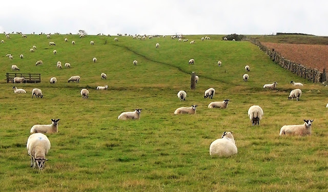
so required us to yet again use a public footpath across private land.
As we
did, the owner of the land drove up in his SUV and stopped to have a chat. He shared with
us a lot of info about the life of a farmer and sheep herder in his part of the
world.
 |
| The farmer shows Mary Kay and the Colorado couple the way across his property. |
“We
don’t make money farming or herding,” he said. “Instead, we allow hunters on
our land. They pay big to shoot the grouse and pheasants who flock to these
moorlands.”
As we
said our goodbyes, he pointed the way through his farm that we had to walk
through to get to our destination. His mother was in the house, sitting by the
window with her dog as we walked by, cheerily waving and pointing as well as
to which way we should turn among the equipment and buildings they called
their home.
 |
| A cozy spot in our B&B to end the day. |
Littlebeck
to Robin Hood’s Bay
If the
good Lord’s willing and the creek don’t rise, we will finish our Coast to Coast
walk today at around noon. This was our mantra at the start of our day. Storms
and heavy winds were forecast for the afternoon and our preference was to
finish the walk before they came rolling in.
The
day started out fine though. Fair weather accompanied us as we left our B&B
from an off-the-map path recommended by our proprietress. The route took us in
front of their farm, down across their sheep pastures, through a couple of
neighboring farms and then, after a short time in the forest, past a
magnificent 65-foot high waterfall that we had all to ourselves.


From
there, the route rose up and out the valley to the top of one of the region’s
moors. The official route directed us across the moor on a course that to us
didn’t make sense, both because of its distance but also because of its
purported boggy conditions. On top of that, our guidebook warned that walkers
should be on the lookout for adders, the one poisonous snake in all of England.

So, it
didn’t take much more convincing for us to abandon this plan and instead walk
along a quiet, paved lane that largely paralleled the official route while traversing
a similar distance. It turned out to be a very good choice. When this road
reached the highlands, we could clearly see the ruins of the abbey in Whitby, a
sizable town to the north, and freighter ships far out in the North Sea that
was now clearly visible and within reach.


Near
the cliff side shoreline, our mantra briefly switched to “storms be damned”
when a coffee and snack bar, replete with cakes and sweets, lured us in for a
break that temporarily delayed us from further progress.
Satiated,
we continued on our way, the path now clinging to the cliffs far above the
crashing surf. It was here that the views of the trail also opened up allowing
us to see a fair distance both in front and behind us. We were surprised that
we hadn’t seen any other Coast to Coast walkers today given that on any other
day, we would always run into a least a couple of them.


By
noon, the village of Robin Hood’s Bay came into view. It wasn’t too much later
that we were walking steeply down its main lane toward the North Sea.


Once
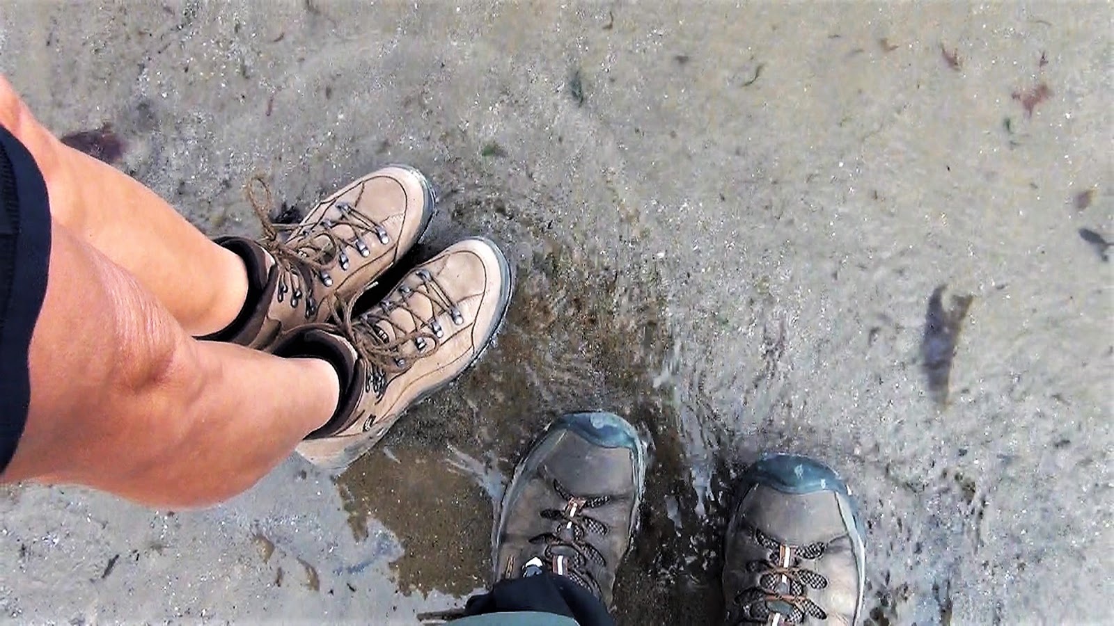
there, we followed tradition by dipped our toes in the water while tossing into
the surf the pebbles we had been carrying ever since leaving St. Bees at the
Irish Sea over 20 days ago. We had finished our Coast to Coast walk across the
width of England, a distance of eight marathons with a cumulative elevation
gain equal to the height of Mount Everest. And we did so just before the storms
and rains hit.


Perhaps
the best way to finish this report is to quote from the last page of our
Trailblazer guidebook, where the authors, Stedman and McCrohan say, “And that’s
it. Your Coast to Coast walk is over. Congratulations. You’ve walked the width
of England, and quite probably more than 200 miles in all, which is certainly
something to be pleased about. But not quite as satisfying as knowing there’s
no more walking on the agenda for a while.”


For Part One of this journey, please go here.
For Part Two of this journey, please go here.
A music video of our 200 mile hike can be viewed at the following link:
For Part Two of this journey, please go here.
A music video of our 200 mile hike can be viewed at the following link:
Comments
Post a Comment