Big Bend has to be one of the most inaccessible national
parks in our country’s lower 48. It is far away from everything, isolated, and remote. You can’t stop
and visit on the way to somewhere else. It is a destination unto itself. You
have to want to go here. And once you get here, you will have to drive many
miles within the park to see its various sites for it is 800,000 acres in size,
the 14th largest national park in the U.S. (the 7th
largest in the lower 48).
Dayhiking and backpacking opportunities are nearly endless. There are many trails to choose from. We visited in March (with comfortable temperatures - I wouldn't recommend hiking here in the dead of summer) and day-hiked the following trails:
Santa Elena Canyon
The Rio Grande River cuts through the escarpment at the far southwest corner of the Park to form the Santa Elena Canyon. The cliff face on the left is Mexico. The cliff face on the right is the U.S. where the 1.75-mile round-trip trail is located. Some hikers were walking up the river soon after we arrived.
5.6-mile round trip takes you down a dry wash ending in a pour-off (dry waterfall) of polished stone at its terminus.
Rio Grande Nature Trail
Short one to 1-1/2-mile hike with far-off views of the Rio Grande Valley. In the pictures, Mexico is to the left, so close that you can easily throw a stone across from one country to the next. Canoeists made their way down the river while we were there. They floated from one country to the next depending on the winds and the currents, Nearby, makeshift shelters and ladders provide access for those wishing to cross into the U.S.
 |
| A man looking to cross over to the U.S. |
 |
| Looking at the Mexico shoreline, there was this, ready for use in a future crossing. |
Boquillas Canyon
 |
| Careful driving here, many horses and burros roam along the road. |
 |
| This man crosses over to make a sale. |
 |
| Villagers wait on their side of the river. |
 |
| This man sold us delicious tamales... |
 |
| ...that we had later for lunch. |
The short hike around this oasis of green, fed by a wind-driven pump, is in the middle of nowhere.
Grapevine Trail
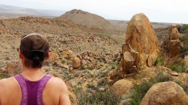
A high-clearance vehicle is needed to drive the 6-mile, very rough gravel and rock road to the trailhead. The 2.25-mile round trip trail takes you to a very unique and interesting balanced rock (now, how the heck did this get there?!)
Another one-mile trail follows a dry wash to a dry waterfall (called a pour-off) as seen from below. I would love one day to see a desert flash flood fill one of these dry washes.
 |
| Not much remains of the adobe farmhouse. |
Note that while we were in Big Bend, several park roads and trails were under reconstruction and closed either around the clock or for several hours during the day. This limited our access to many other trails that would have made this list.
A music video of Big Bend and other National Parks in southwestern US can be viewed at the following link:


Very cool. Such easy access to the U.S. though. Makes you wonder.
ReplyDelete